 Proud to be Canadian
- Grades 2 - 3
- Pages 80+5
- Copyright 2009
-
Product Code J167 ( MR #052808 )
- Format
Professional resources, assessments, and educational books.
Price $23.95
Strengthen your students; mapping skills and understanding of geographic terminology through the usage of the various activities in this resource. Students will explore Canada using maps and will learn about its political divisions and its position in the world. They will be introduced to the terms hemishpere, continent, latitude, longitude, pictoral symbols, legend, key, scale, landforms, and cardinal and intermediate directions. Exploring different maps of one's native country is a wonderful way to become acquainted with it.
Sample

Canadian Mapping
An Introduction to Mapping Skills
Grades 1-2
$23.95
Canadian Mapping
An Introduction to Mapping Skills
Grades 1-2

Canadian Mapping
Developing & Using Mapping Skills
Grades 2-3
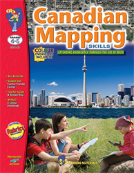
Canadian Mapping
Extending Knowledge Through the Use of Maps
Grades 4-5
$23.95
Canadian Mapping
Extending Knowledge Through the Use of Maps
Grades 4-5

Canadian Mapping
Extending Knowledge Through the Use of Maps
Grades 5-6
$23.95
Canadian Mapping
Extending Knowledge Through the Use of Maps
Grades 5-6
No additional information available for this item.
