 Proud to be Canadian
- Grades 4 - 6
-
Product Code 9780919972766 ( MR #021187 )
*Not available separately (package component only)
-

Exploring Canada's Geography
Alberta
Land and People
*Not available separately (package component only)
-

Exploring Canada's Geography
British Columbia
Land and People
*Not available separately (package component only)
-

Exploring Canada's Geography
Manitoba
Land and People
*Not available separately (package component only)
-

Exploring Canada's Geography
New Brunswick
Land and People
*Not available separately (package component only)
-
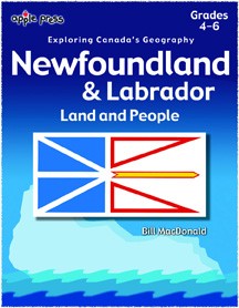
Exploring Canada's Geography
Newfoundland and Labrador
Land and People
*Not available separately (package component only)
-

Exploring Canada's Geography
Northwest Territories
Land and People
*Not available separately (package component only)
-
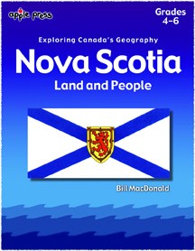
Exploring Canada's Geography
Nova Scotia
Land and People
*Not available separately (package component only)
-
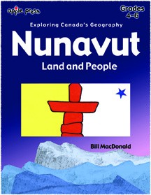
Exploring Canada's Geography
Nunavut
Land and People
*Not available separately (package component only)
-
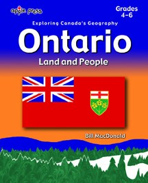
Exploring Canada's Geography
Ontario
Land and People
*Not available separately (package component only)
-

Exploring Canada's Geography
Prince Edward Island
Land and People
*Not available separately (package component only)
-

Exploring Canada's Geography
Saskatchewan
Land and People
*Not available separately (package component only)
-

Exploring Canada's Geography
Yukon
Land and People
*Not available separately (package component only)

- Pages 44
- Copyright 2002